Interactive Yatra Route Map
Explore confluences, road transit checkpoints, and high-altitude shrines. Hover on points to view details and altitude profiles.
Uttarakhand Yatra Network
Hover nodes to explore base camps, confluences, and high-altitude shrines
1. Select Spiritual Route
Char Dham Yatra


Elevation Profile
Visual altitude progression during clockwise traditional journey
Journey Highlights
Sacred Journey
Experience the blessings and peace of all four Dhams.
Divine Rivers
Witness the pure glacier origins of Yamuna and Ganga.
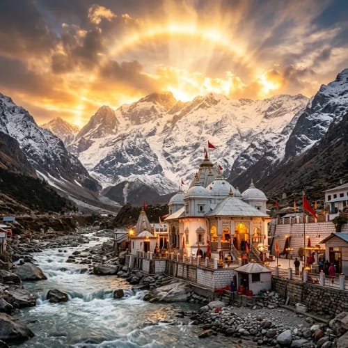
Scenic Beauty
Breathtaking Himalayan peaks and spiritual mountain valleys.
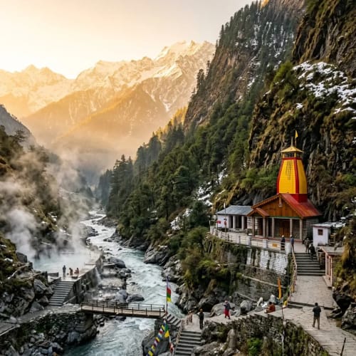
Spiritual Significance
Ancient stone temples, hot sulfur springs, and holy confluences.
Important Stops on the Journey
Primary stops along the pilgrimage sequence for the selected Char Dham Yatra
Haridwar
Altitude: 314 mThe gateway assembly and starting point of the Yatra route in Uttarakhand.
Barkot
Altitude: 1,220 mThe mountain base camp town serving the first Dham, Yamunotri (3,293 m).
Uttarkashi
Altitude: 1,158 mThe major holy valley town serving as the base camp for Gangotri Dham (3,100 m).
Guptkashi / Sonprayag
Altitude: 1,319 m - 1,820 mThe twin mountain base camps facilitating transport and helipads for Kedarnath Dham (3,583 m).
Badrinath / Pipalkoti
Altitude: 1,260 m - 3,133 mThe highway basecamp and temple valley serving the final Dham, Badrinath (3,133 m).